


Roc de Chère trail
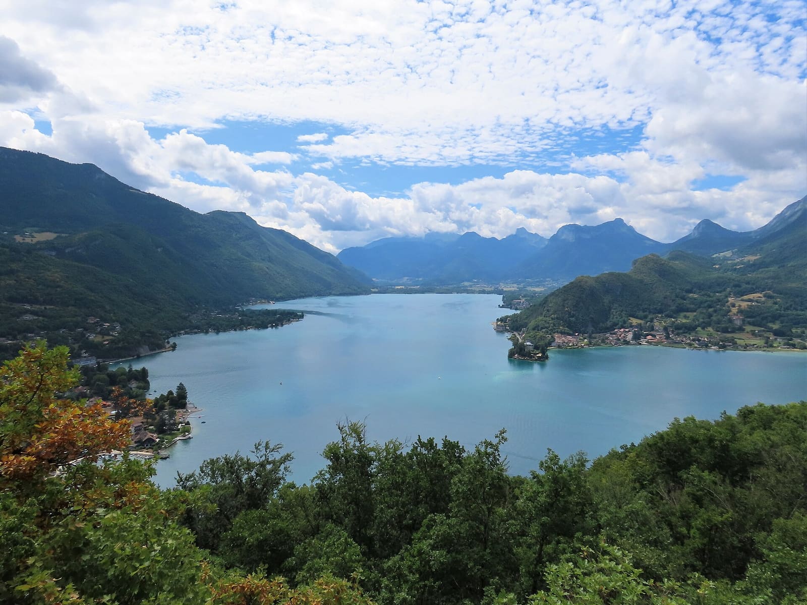
A family walk through the nature reserve that juts out into the lake between Menthon and Talloires.
- Distance
- 5.4 km
- Ascent
- 178 m
- Stated time
- 2 h
- Difficulty
- Very easy
- Route
- —
Figures from the source: Lake Annecy tourist office: Roc de Chère trail. Times are walking times without breaks; they vary with fitness, terrain and season.
The route
The Roc de Chère is a small wooded massif that drops into the lake between Menthon-Saint-Bernard and Talloires. Protected since 1977, it is home to surprising, almost Mediterranean vegetation on its sun-baked rocks.
The easy trail links several viewpoints over the water. Stay on the path: this is a nature reserve.
What you see on the way
- A national nature reserve
- Viewpoints over the lake
- Almost Mediterranean vegetation
Starting point
Roc de Chère car park, 42 chemin des Gouttes, Talloires
- Trailhead
- Trailhead
Roc de Chère car park, 42 chemin des Gouttes, Talloires
Start of “Roc de Chère trail”.
Good to know
- The tourist office advises avoiding the site from April to June, during the nesting season.
Before you set off
Check the weather and the lake webcams, and the state of the trail with the official source: a route can be closed (works, rockfall, snow) without this page knowing.