


Mont Grêle summit hike
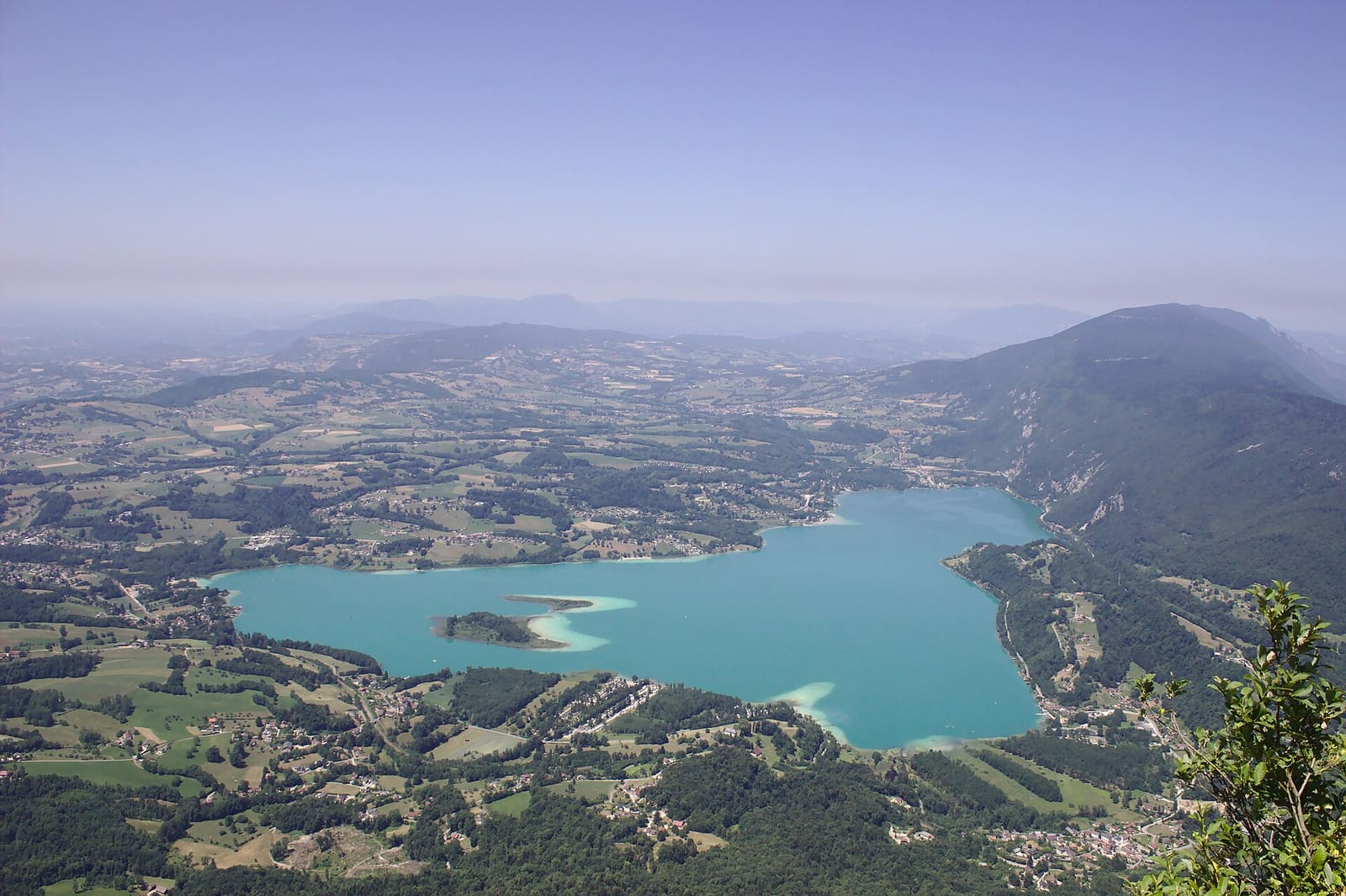
The big loop up to the viewpoint indicator on the Épine, looking over Lac d’Aiguebelette and Lac du Bourget.
- Distance
- 12.9 km
- Ascent
- 859 m
- Stated time
- 4 h 30 min
- Difficulty
- Difficult
- Route
- Loop
Figures from the source: Lac d’Aiguebelette tourist office, Mont Grêle summit. Times are walking times without breaks; they vary with fitness, terrain and season.
The route
Starting from Attignat-Oncin, south of the lake, this loop waymarked in yellow crosses the farmland of the plain and the hamlet of Gerbezet, then climbs through the forest to the Épine ridge. On the summit of Mont Grêle, the panoramic table takes in Lac d’Aiguebelette, the Chartreuse and, further away, Lac du Bourget.
Some sections are exposed to rockfall, and on the ridge you should keep children close.
What you see on the way
- The panoramic table on Mont Grêle
- The lake, the Épine, the Chartreuse and Lac du Bourget
- The Pissoire waterfall
- The summit of the Archelle
Starting point
Attignat-Oncin church
- Trailhead
Before you set off
Check the weather and the lake webcams, and the state of the trail with the official source: a route can be closed (works, rockfall, snow) without this page knowing.