


Lac d’Aiguebelette in three days: the round trek
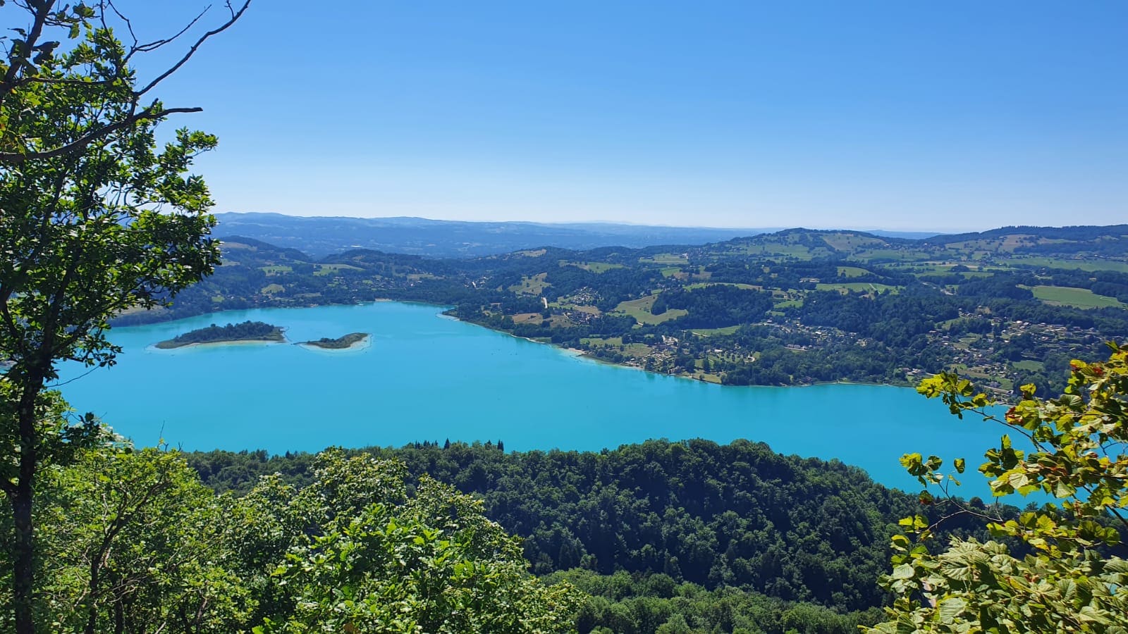
A 60 km multi-day trek along ridges and through woodland, starting from Lépin-le-Lac station.
- Distance
- 60.4 km
- Ascent
- 2,467 m
- Stated time
- 3 days (24.1 km, 22.3 km and 14.1 km)
- Difficulty
- Difficult
- Route
- Loop
Figures from the source: Lac d’Aiguebelette tourist office, three-day walking tour of the lake. Times are walking times without breaks; they vary with fitness, terrain and season.
The route
The big tour starts at the station and goes all the way round the lake along the ridges and through the woods, in three stages: Lépin-le-Lac, Aiguebelette-le-Lac, Novalaise. The first two days are the toughest (more than 1,100 m of ascent each), the last one shorter.
On the way you follow sections of Roman road over the Col du Crucifix, and the viewpoints open in turn onto the Chartreuse and the Bauges. The tourist office recommends it for hikers with stamina; there is also a one-day version for very fit walkers.
What you see on the way
- The Roman road and the Col du Crucifix
- Viewpoints over the Chartreuse and the Bauges
- The Épine cliffs
Starting point
Lépin-le-Lac – La Bauche station
- Trailhead
- Trailhead
Lépin-le-Lac – La Bauche station
Start of “Lac d’Aiguebelette in three days: the round trek”.
Before you set off
Check the weather and the lake webcams, and the state of the trail with the official source: a route can be closed (works, rockfall, snow) without this page knowing.