First snow on Sunday for Mont-Blanc and the Aravis
AlpeSnow - Published 17 October 2026 at 07:33 (Paris time)
Read in: Français · Español · Deutsch · Nederlands
On Sunday 18 October the model gives 8 cm at Chamonix, Flaine and Montriond and 5 cm at La Clusaz. Further south, Bonneval-sur-Arc's total is cut from 71 to 30 cm.
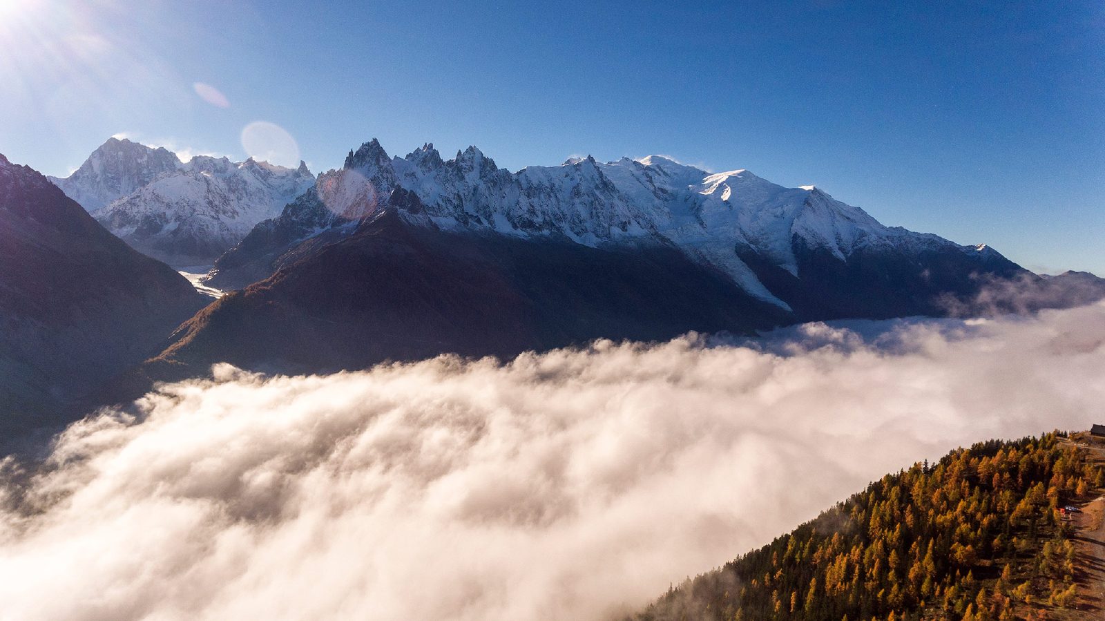
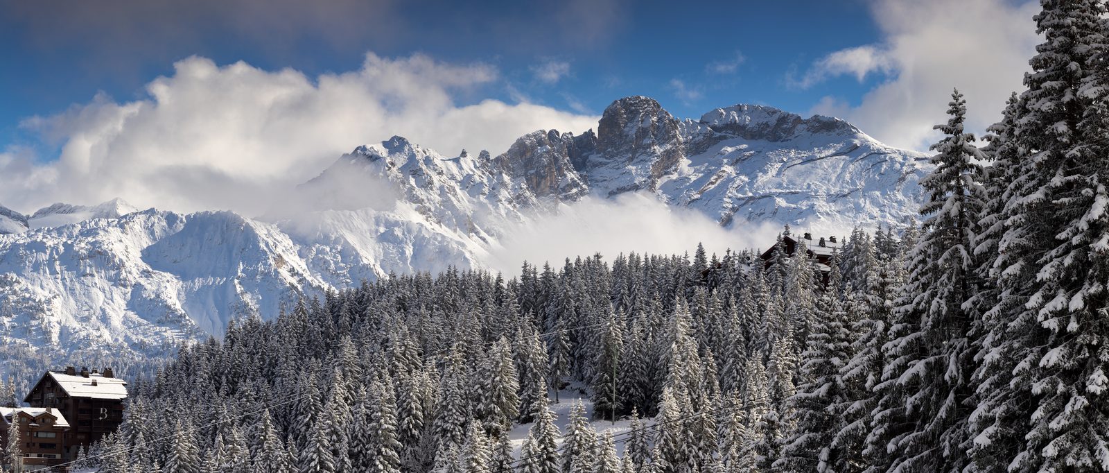
This week's snow hits Haute-Savoie first. On Sunday 18 October the model forecasts fresh snow at the top of the Mont-Blanc, Aravis, Grand Massif and Chablais ski areas, with the rain-snow limit around 2,100 to 2,650 m depending on the massif. In the villages it will not snow: expect rain or scattered showers.
Sunday: 4 to 8 cm at the top of the ski areas
Snow forecast for Sunday 18 October at the top of the ski areas (model forecast read on Saturday 17 October at 7:35):
- Chamonix-Mont-Blanc8 cmat 2,765 m · Mont-Blanc, 15 cm over 7 days
- Flaine8 cmat 2,500 m · Grand Massif, 15 cm over 7 days
- Montriond8 cmat 2,225 m · Chablais, 16 cm over 7 days
- La Clusaz5 cmat 2,477 m · Aravis, 17 cm over 7 days
- Les Contamines-Montjoie4 cmat 2,450 m · Mont-Blanc
- Avoriaz4 cmat 2,225 m · Chablais
- Le Grand-Bornand4 cmat 2,100 m · Aravis
By massif, the 48-hour forecast (read Saturday at 6:52) gives up to 15 cm at 3,000 m on Mont-Blanc and up to 11 cm at 2,500 m in the Aravis. In the Chablais the rain-snow limit is lowest, between 1,800 and 2,000 m, but the snow expected there is only around 2 cm at 2,000 m. From Monday temperatures rise again and most of this fresh snow would not last long.
Haute-Maurienne: the forecast drops
New since our Friday article: the 7-day total at Bonneval-sur-Arc (3,000 m) has fallen from 71 cm to 30 cm in the latest model run. The bulk of the episode is still Monday 19 and Tuesday 20 October (about 8 cm on Monday and 13 cm on Tuesday at the summit), but weaker than announced. Tignes (20 cm instead of 29 cm) and Val d'Isère (17 cm instead of 36 cm) are revised the same way. Les Deux Alpes and L'Alpe d'Huez stay around 28 to 29 cm. Haute-Maurienne still has the highest massif forecast (up to 17 cm at 3,000 m by Monday).
Remember: these are forecasts 3 to 7 days out and change with every run. They are not snow depths on the ground, and the 0 °C isotherm is still around 3,480 m on Saturday morning.
Mountain passes: Galibier and Iseran
On the Savoie roads page (read Saturday at 7:28), the Col du Galibier (a mountain pass, "col" in French) shows as closed; a notice dated 16 October at 16:20 mentions a closure linked to forecast bad weather, with no end date. On the D902, a roadworks notice also reports the road cut between the Pont de l'Ouliettaz and the Col de l'Iseran from 12 to 23 October (weekend exceptions, updated 12 October). Before any trip at altitude, only official Savoie Route information counts.
Following the snow
- Snow forecast by massif, updated hourly.
- Summit webcams, when they are transmitting: all webcams, or the pages for Chamonix-Mont-Blanc, Flaine and La Clusaz.
- Savoie roads and passes and 2026-2027 opening dates; the first resorts open on 21 November.
- Yesterday's article: snow at altitude next week.
Sources
- AlpeSnow : neige prévue par station (modèle Open-Meteo)
- AlpeSnow : neige prévue par massif
- AlpeSnow : routes et cols de Savoie
- AlpeSnow : calendrier des ouvertures 2026-2027
- Savoie Route : état des routes et des cols
- Open-Meteo : modèle de prévision
Written by AlpeSnow from these sources, consulted on the day of publication, and from the site’s own data.